Leaving Korla and heading west for more than 200 kilometers, we arrived at Luntai County, the starting point of the desert highway. It is around 3:00 pm on July 26, which is lunch time in Xinjiang. As those of us with Beijing stomachs, we are already starving. Fortunately, the small restaurant recommended by the driver served fast and the food tastes very good. It only took us half an hour for lunch and we set off to the south without stopping.
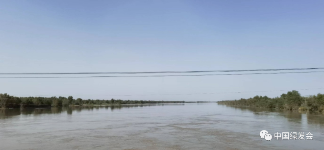
About an hour later, we arrived at the first work point, the Tarim River section in Lunnan Town. The vehicle found a fork on the west side of the Tarim River Bridge and went down to the river. It was the flood season of the Tarim River, and the river swelled, flooding the banks on both sides. The Populus euphratica forests standing on both sides of the river had all been immersed This is completely different from my investigation here in 2017 which allows me to appreciate the vastness of the Tarim River.

(The Tarim River overflowing the bank and the Populus euphratica soaked.)
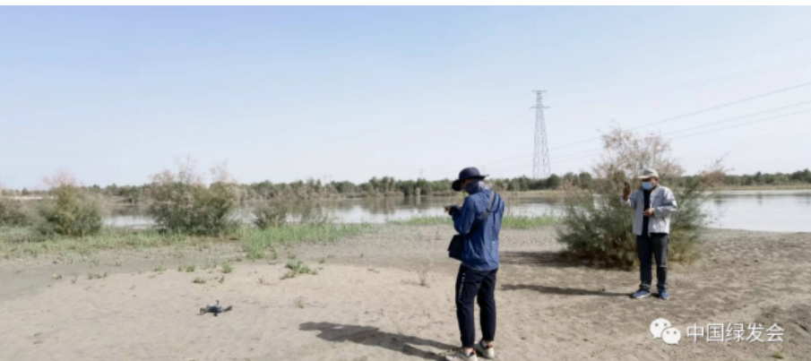
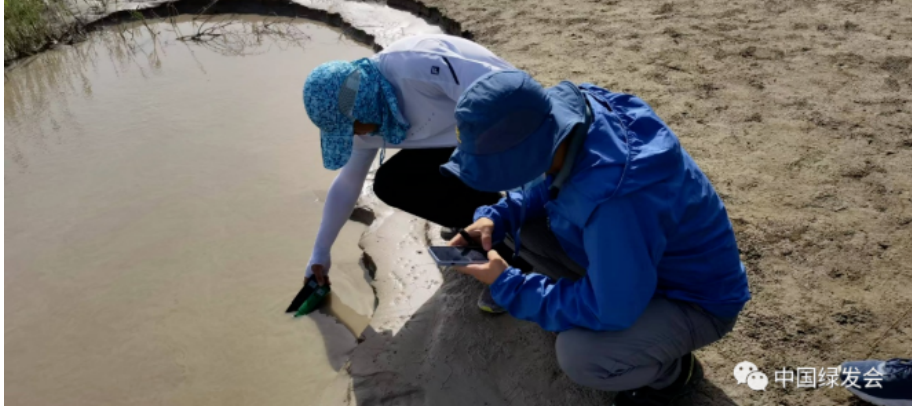
The team members started work immediately: the comprehensive hydrology team carried out river hydrological observation and recording; the subsurface hydrological environment team searched for wells and took water samples; The plant group made plant quadrats in the vegetation zone along the river bank.
The west-sloping sun reflected the team members' enthusiasm for work, and I couldn't help thinking about the follow-up itinerary: there are still more than 500 kilometers to reach the expected destination, and work still needs to be carried out, whether to move on or rest on the spot? It was difficult to decide for a while. After all, there is no hotel within hundreds of kilometers of desert roads.

 (The team members are preparing to measure the ecological environment of the river section and the water quality of the river bank by flying the drone and to measure the water quality of the river bank.)
Original Chinese Article:https://mp.weixin.qq.com/s/ns5-GbzuRKzX8ipMlnzhew
Translator: Daisy
Checked by Sara
Editor: YJ
Contact the editors: v10@cbcgdf.org; +8617319454776

Contribution
Do you know? CBCGDF is a non-profit organization. We rely on crowd-funding and
donations. You have the opportunity to help us to advance biodiversity conservation.
Donate TODAY to power up the movement to make it a better world for all life.
https://www.paypal.me/CBCGDFChina
http://www.cbcgdf.org/English/ConfirmDonaTion/0.html
